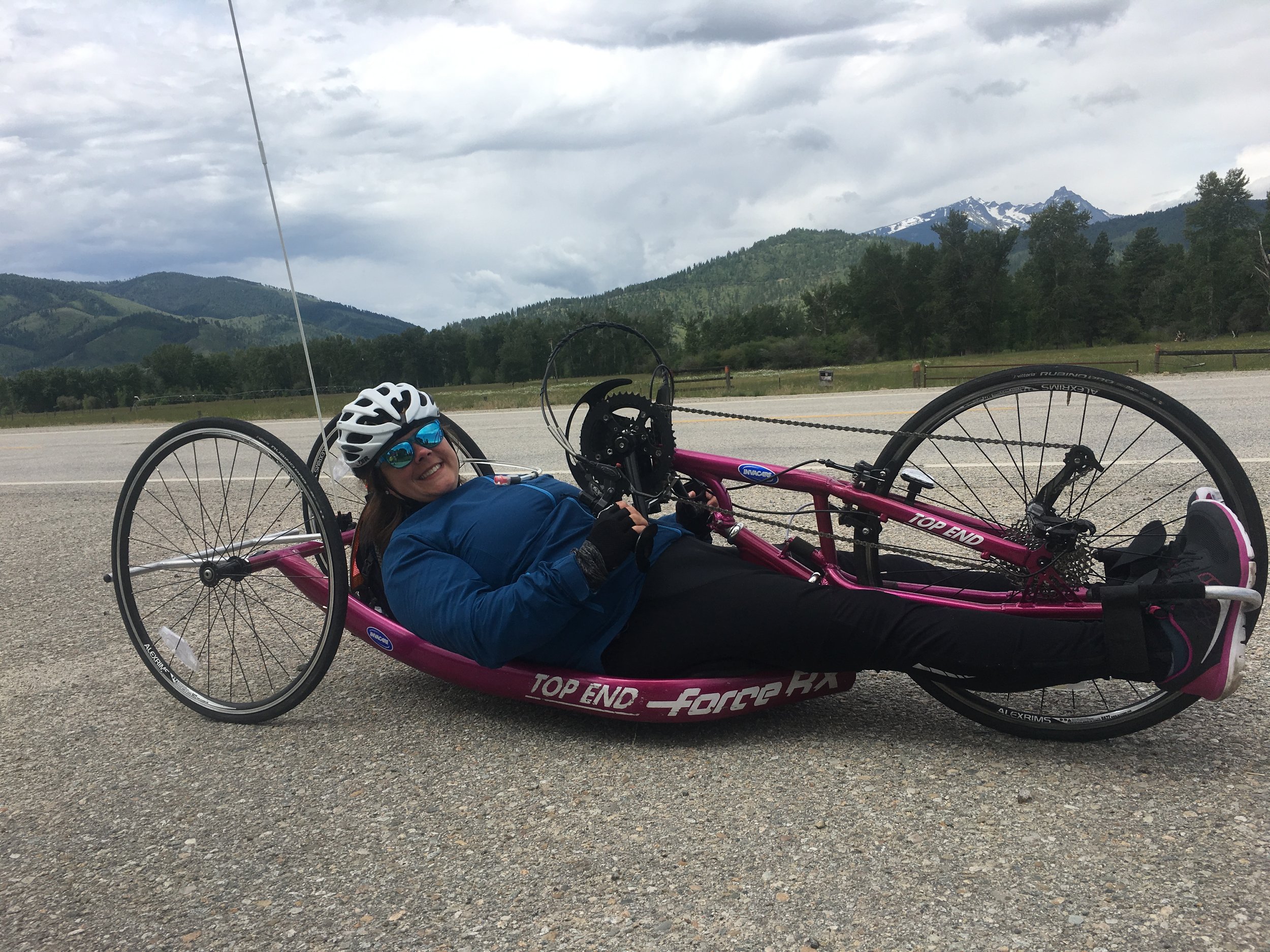
Between 2 Mountains... or 3.
Hello from Hamilton, MT! We just finished our 4th day of riding and it feels good to roll in at a decent hour! We've had a few days without electricity, running water, and cell service, so it's good to be back to normal for a hot second. Laundry tonight and our last riding day tomorrow before a day off to recharge. I am SO ready! Unbeknownst to me, the first 3 days of our route included going over a mountain pass each day. I decided the route and made the cue sheets, so perhaps that information should've been knownst (yes, I know that's not a word).
Day 1 was supposed to be a short 20 miles so we could get in the swing of things. It was not! Badger Pass was 6755 ft up, so we had a 1650 ft climb. Now, remember that I'm from Michigan. In Michigan, my rides would often show a total gain of way less than 100ft. I also avoided hills, to be completely honest! I went on a hilly ride with my friend Bryan prior to my last race and thought I was going to die. It was nothing like Badger Pass! The downhill was pretty great, though!
Day 2 was Big Hole Pass at 7428 ft after a 1600 ft climb! Not as high up, but definitely steeper! Some of my teammates may or may not have pushed me towards the top... I was going VERY slow. These are some of the few times when I really wish I could just get up and walk! It's either hold tight on the brakes or keep on moving forward. Kind of like real life, eh?
Day 3 we climbed to Chief Joseph Pass at 7264 ft. We were thankful for a mostly gradual 1400 ft ascent, but the last couple of miles were super challenging! The downhill was sick, though! It totally made up for that terrible uphill.
Today was my favorite ride so far! We had a gradual descent for 37 miles, so we were able to make some good time. We stopped in Darby, Montana for lunch and ice cream, and continued on to Hamilton, where we're hanging out now. Rain again tonight, but we're so thankful for some electricity. The people we've met along the route have been so great! Most of our route is heavily cycled, as the Adventure Cycling Association provides maps for the Lewis and Clark Trail. Part of our route overlaps the TransAmerica trail as well, so we've seen lots of cyclists on the road. The locals are also very used to cyclists, so most people driving are very kind and give us lots of space when passing!
So, what's for tomorrow? We'll be on the Bitterroot Trail for almost 40 miles, which I'm really excited for! Trail riding is so relaxing and it's nice to be off the road for a bit. We'll be right near Missoula, Montana, which is where the Adventure Cycling Association headquarters is located. Should be a good time!
Laura
Edit: Follow us on Instagram @Collision_to_coast or my personal Instagram @slaura14.
Find me on Strava to follow the route!


